GIS Training Materials
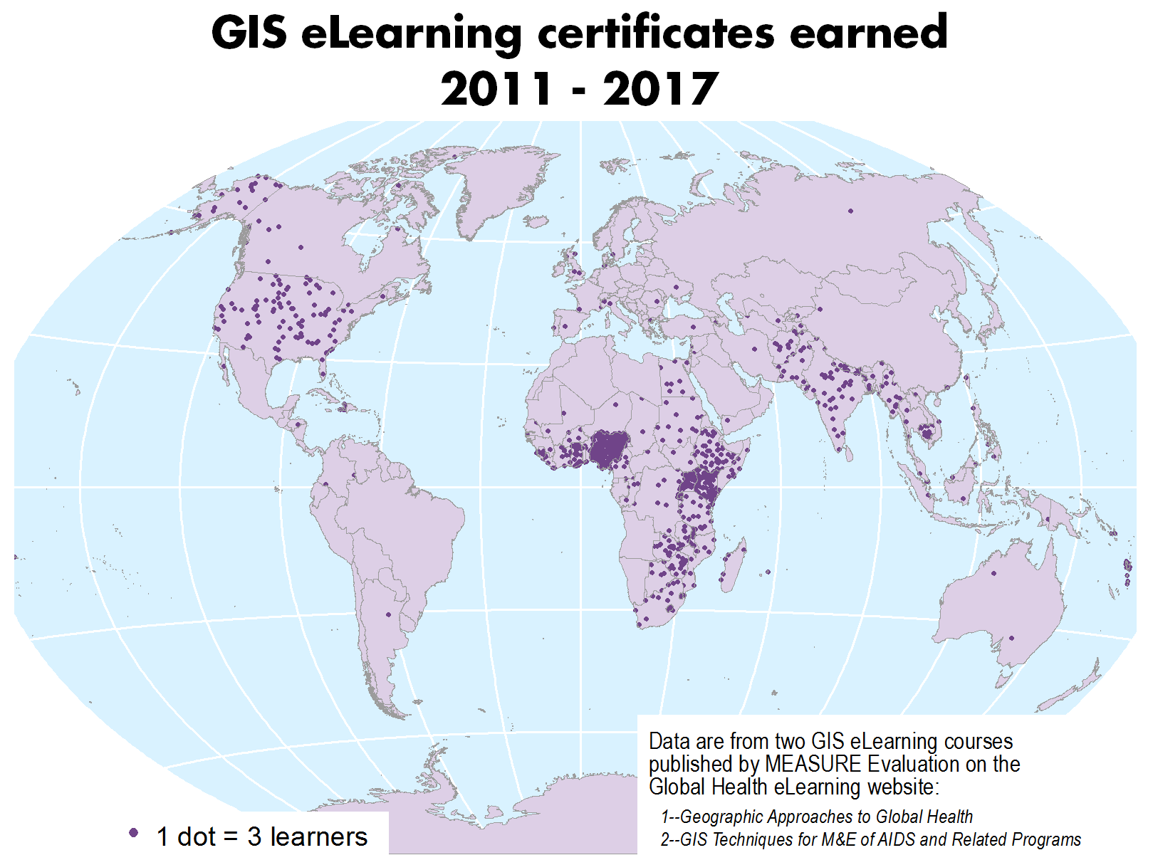
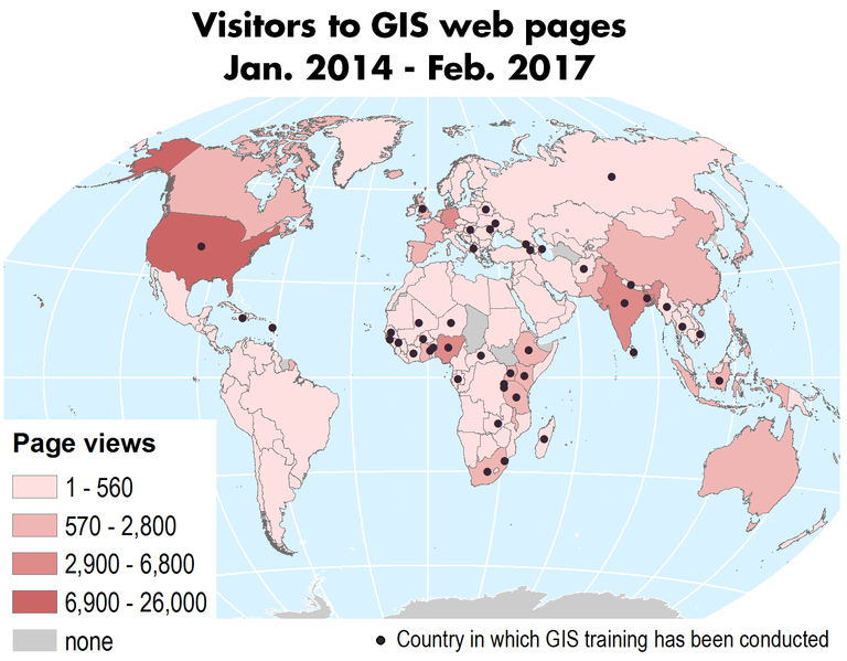
MEASURE Evaluation has provided training and technical support in GIS (geographic information systems) and mapping to over 500 people in over 45 countries during the past several years.


Here we share our expertise in a series of PDF documents and Powerpoint slide presentations. We have organized our material into the following categories:
- Introduction to Linking Data Using GIS -- Training materials which emphasize the importance of spatial data as a way to help link datasets, providing new insights into M&E.
- Spatial Data Fundamentals -- Training materials which provide an overview of GIS and of the most important considerations in the many kinds of geographic data, such as data storage and organizational schemas, cartographic (mapping) principals, coordinate systems, and confidentiality issues.
- Tools and Tips -- Materials which provide brief introductions to several spatial analysis tools and techniques, as well as lists of online sources for third-party training and for spatial data repositories.
- Hands-On Mapping Exercises -- Exercises which are intended to be used as tutorials for learning the fundamentals of QGIS, GPS data collection, and Google Earth.
- GIS Step by Step Mini-Tutorials
The online GIS mini-tutorials are practical, self-instructional tools that reinforce GIS concepts introduced by MEASURE Evaluation resources and support successful GIS application and use in informing HIV/AIDS program decision making. - Geographic Approaches to Global Health
The downloadable course teaches how to use spatial data to enhance the decision-making process for health program implementation in limited-resource settings. - GIS Techniques for M&E of HIV/AIDS and Related Programs
This downloadable course presents a practical guide for using a GIS to integrate, visualize, and analyze geographically referenced data extracted from the Demographic and Health Surveys and other key data sets to facilitate monitoring and evaluation of HIV/AIDS and related health programs.


